Premiumweg

medium

Moselsteig Side Trail Konzer Höhenrunde

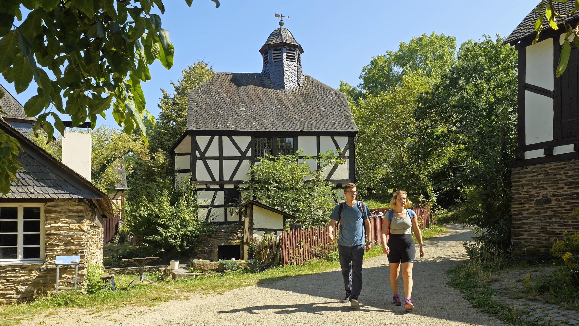
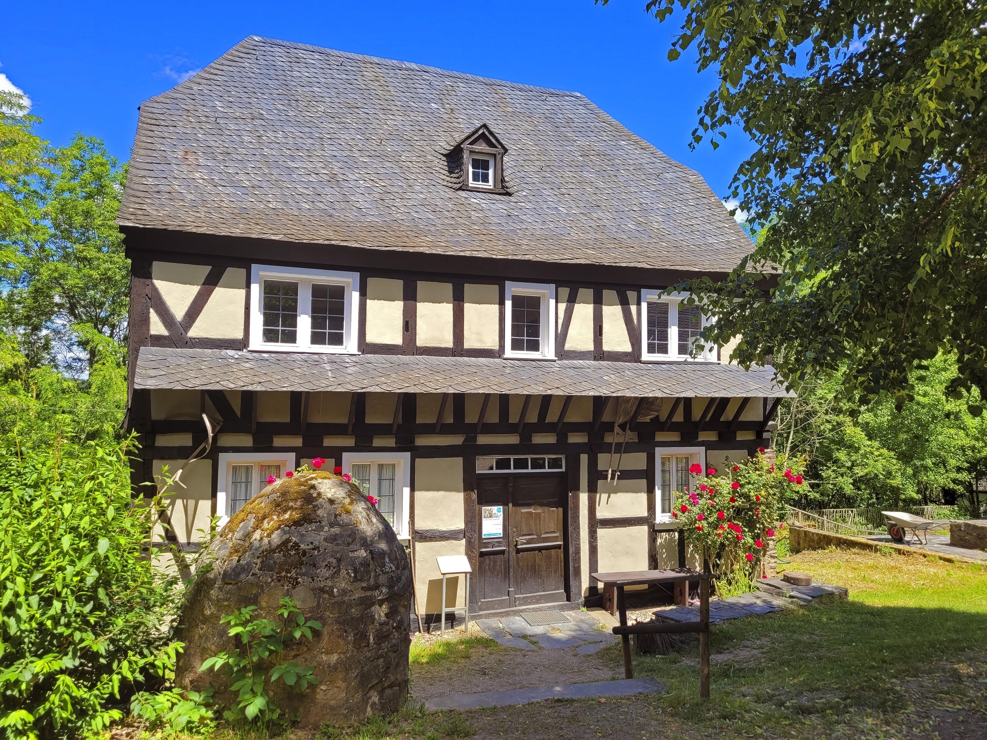
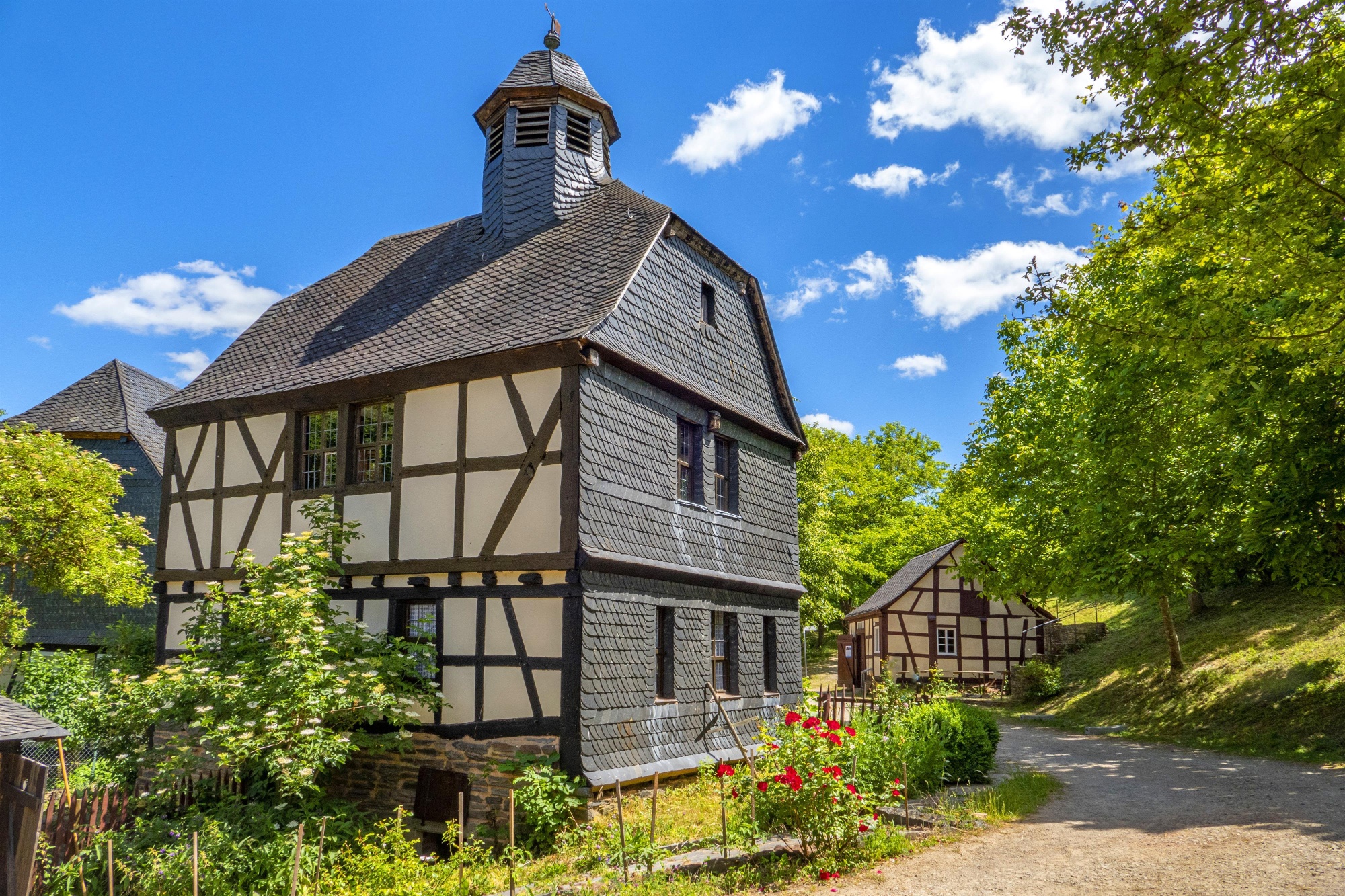
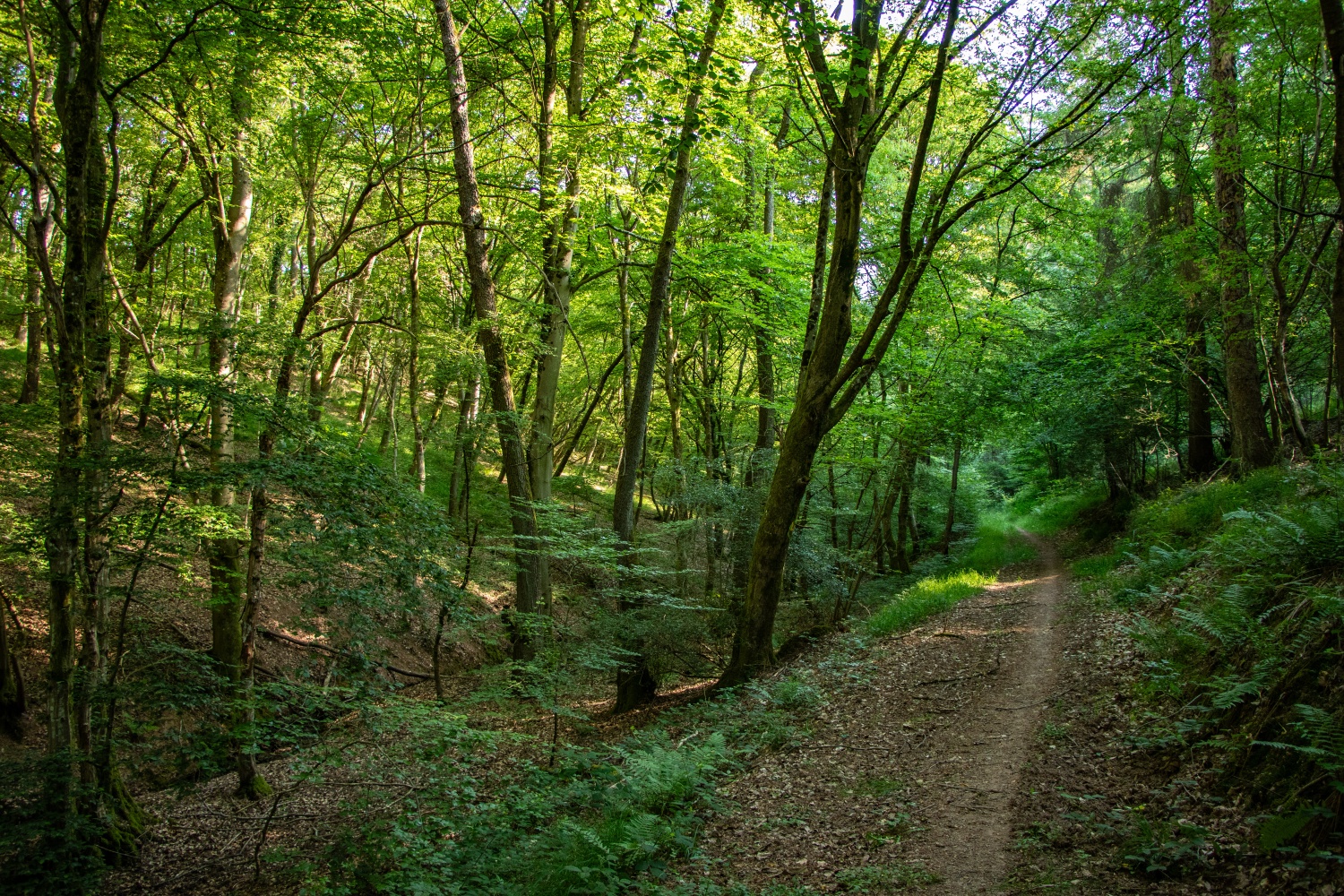
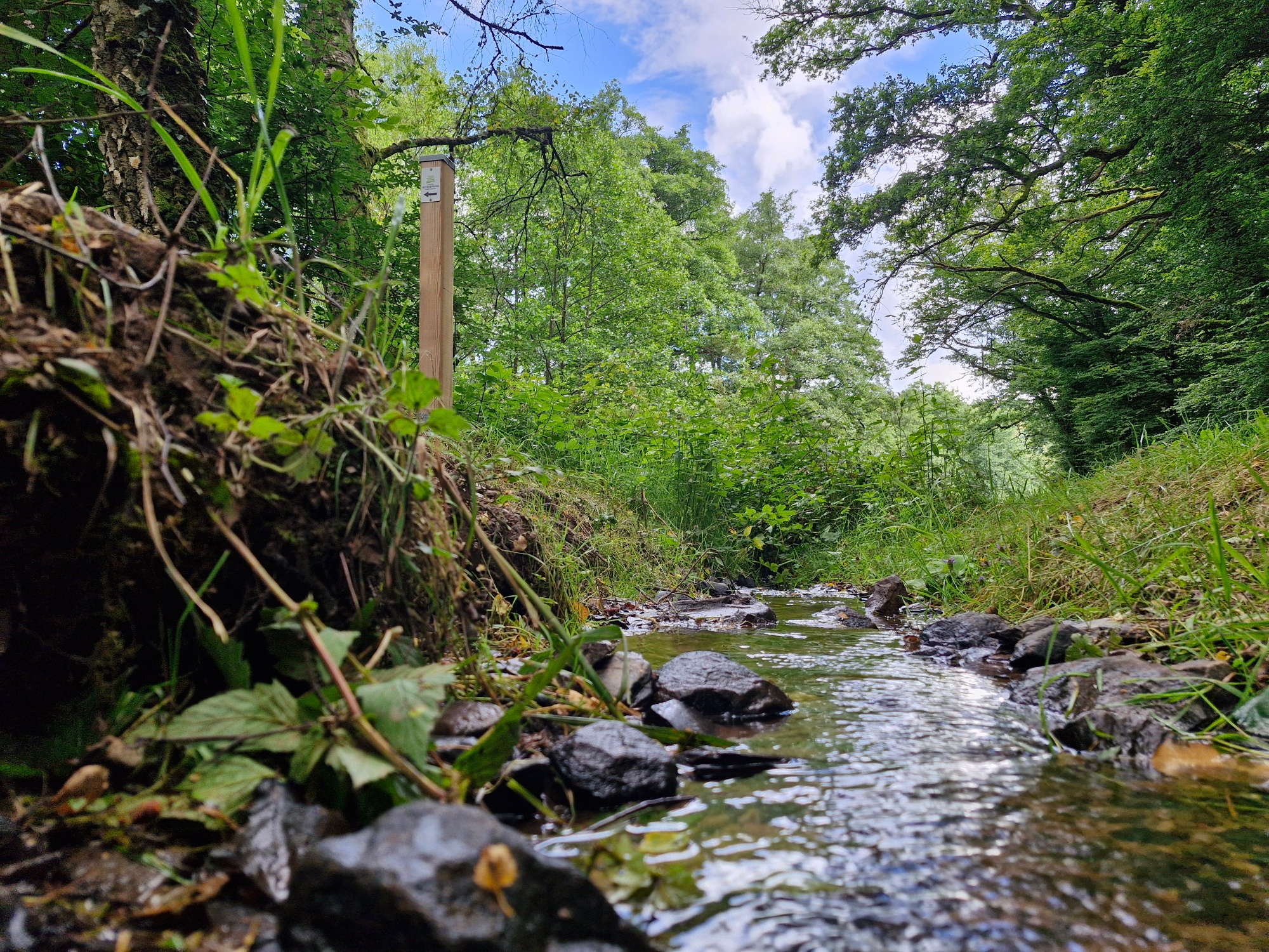
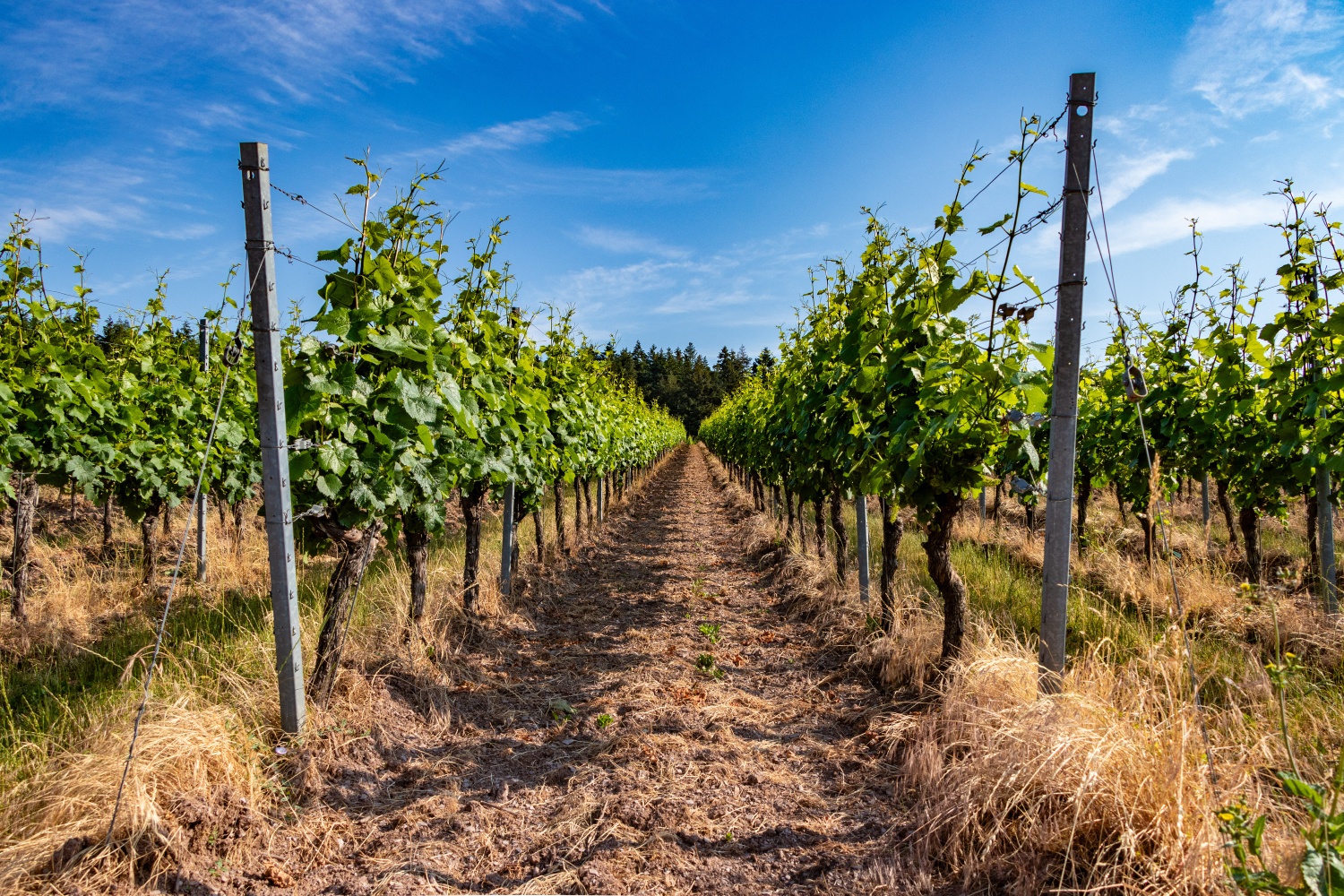
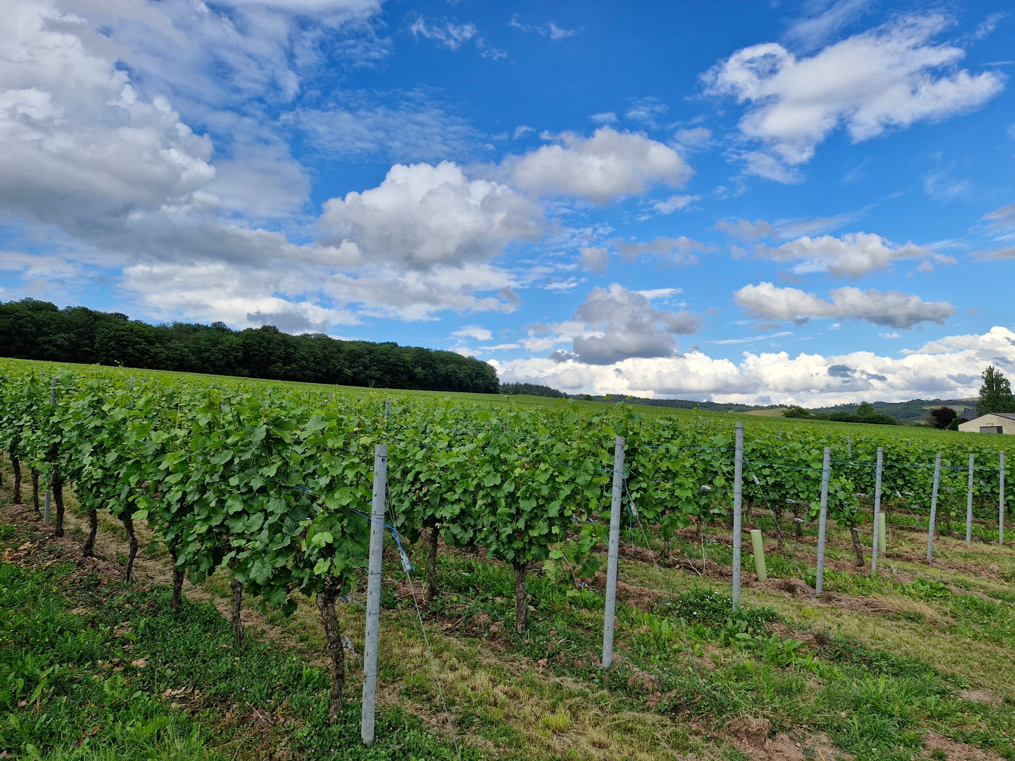
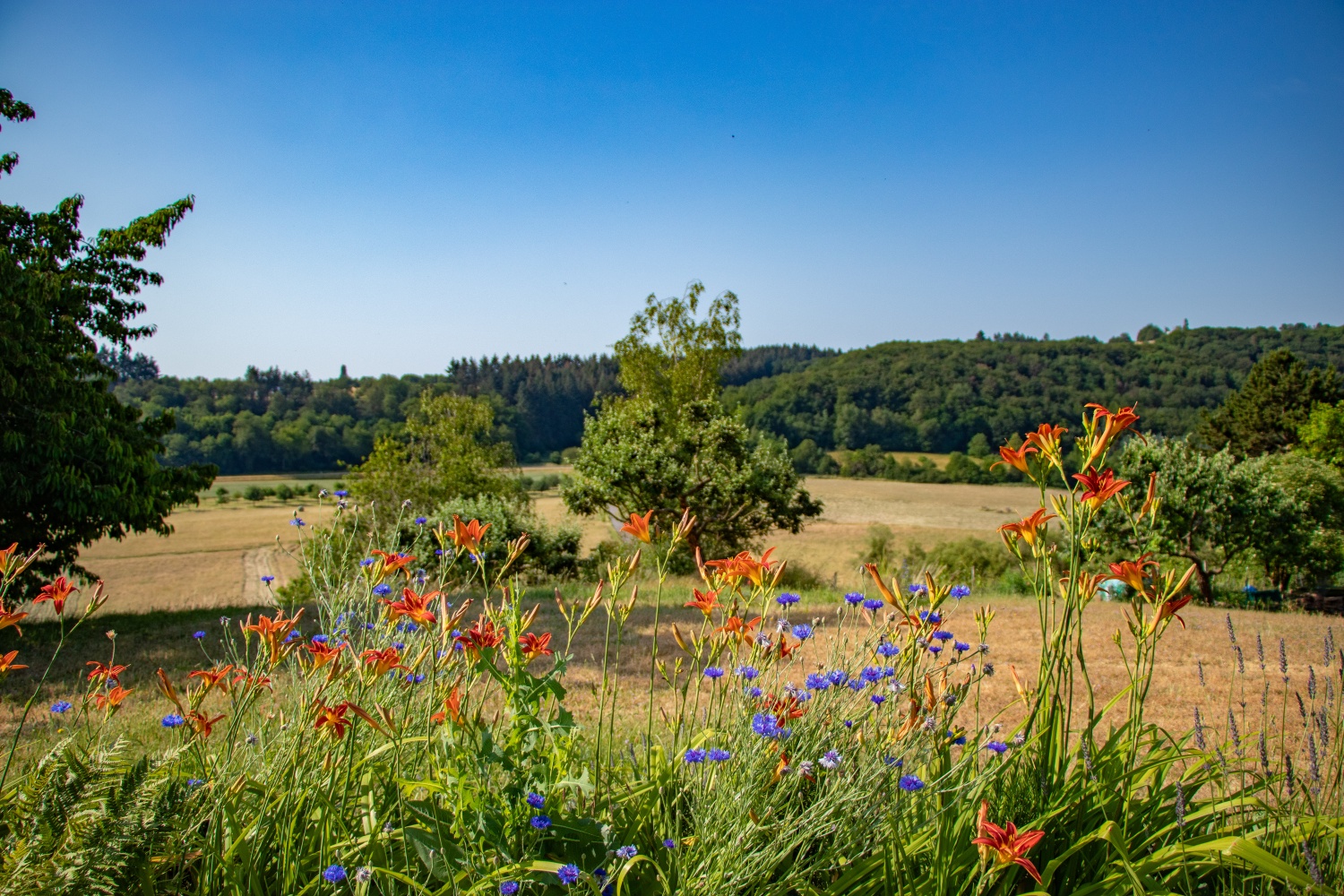
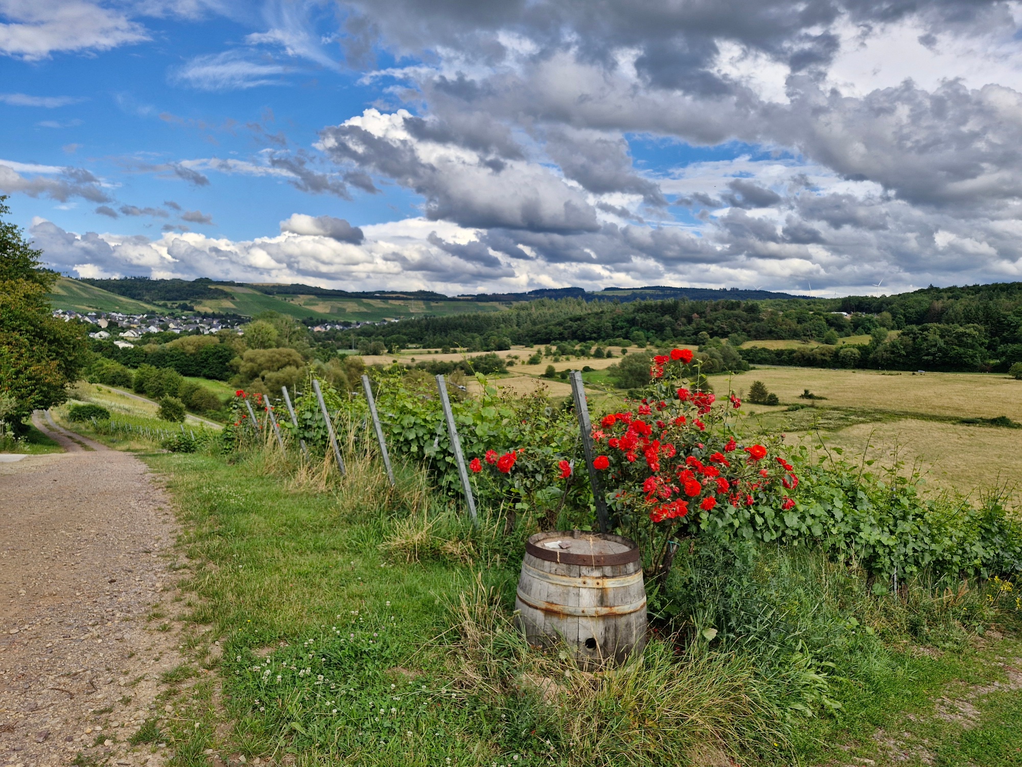
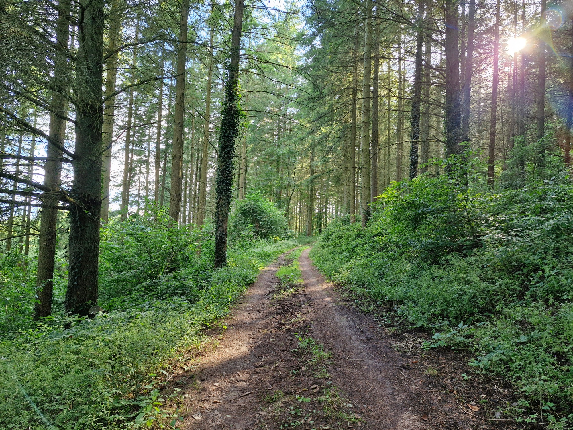
From the Roscheider Hof open-air museum, the hiking trail leads through the district of Roscheid and continues along a narrow, rustic forest path, which is also known as the Wurzelweg (root path) due to its many roots (be careful when wet: danger of slipping!). The trail leads through the stream valley to the vineyards of Niedermennig with wonderful views of the Konzer Tälchen, which was still a valley around the Moselle more than four million years ago. Continuing through woodland, vineyards and open meadows, you reach the Roscheider Plateau. From there, you have an impressive panoramic view over Trier all the way to Luxembourg.

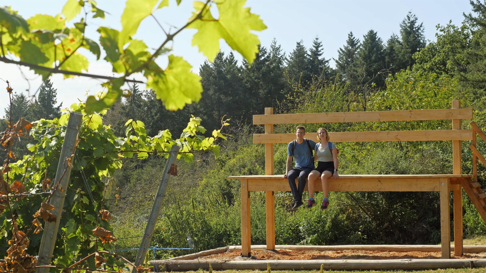
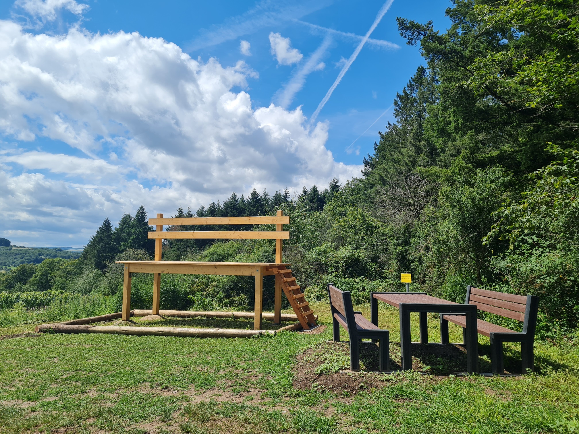
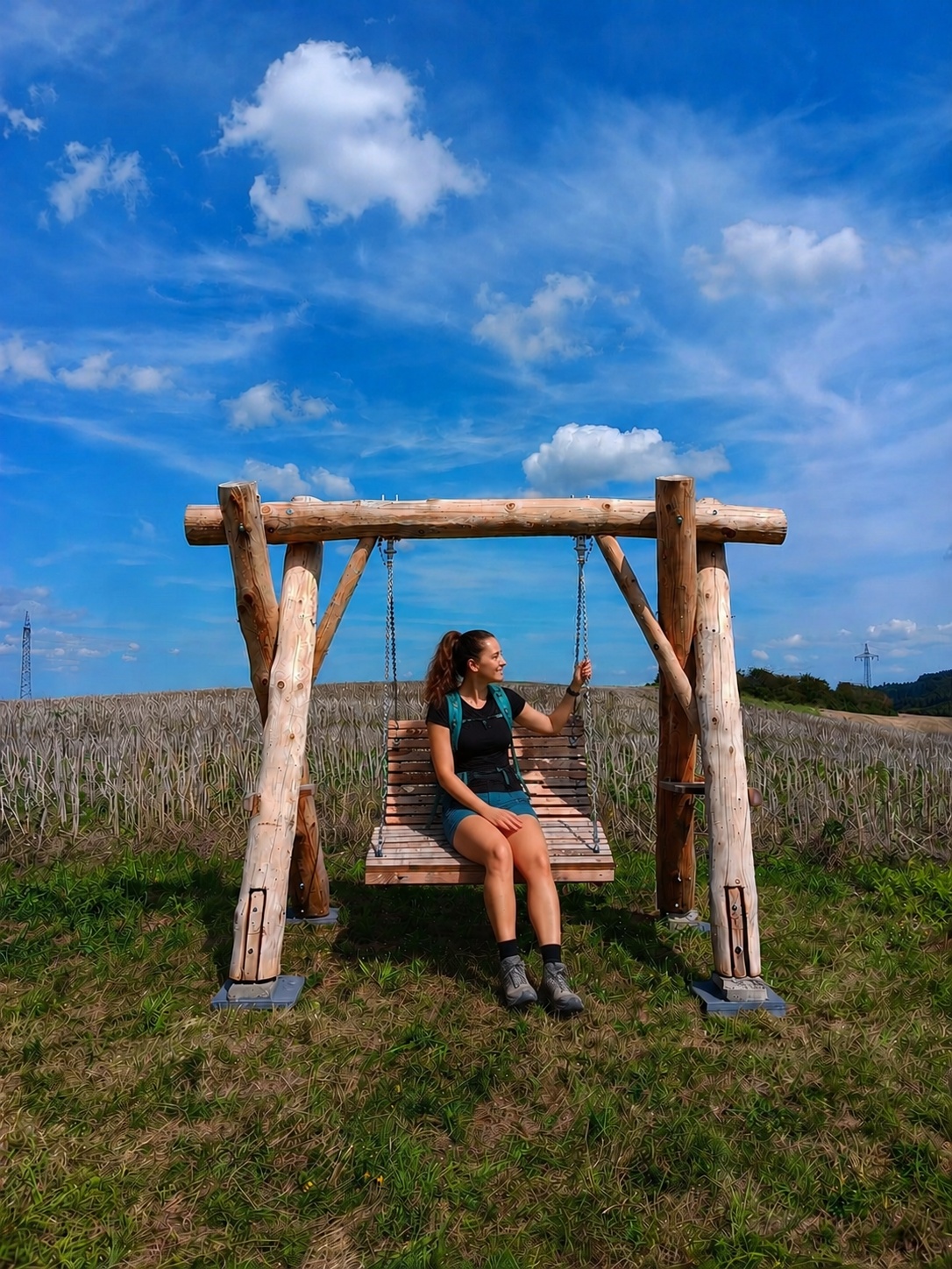
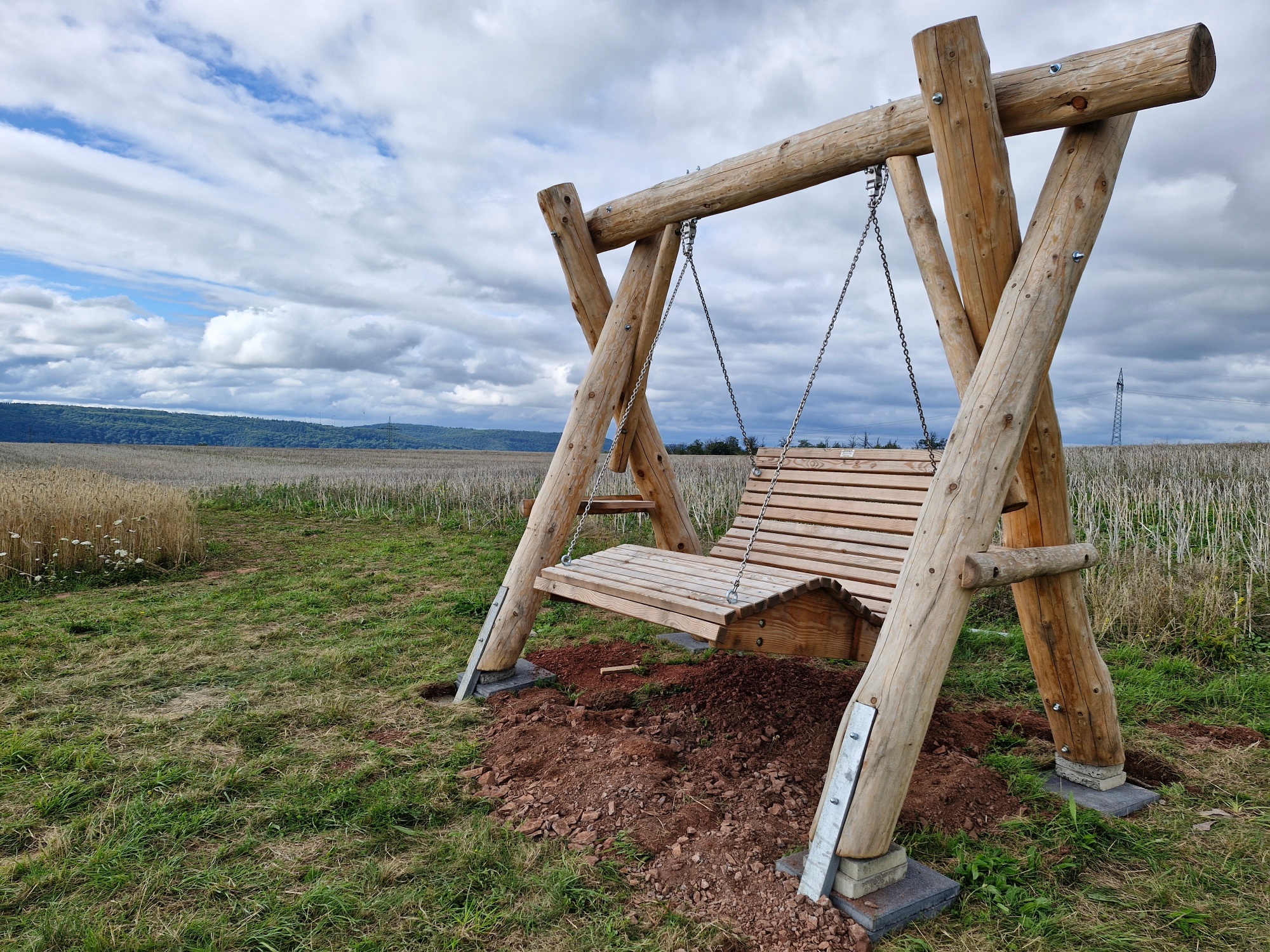
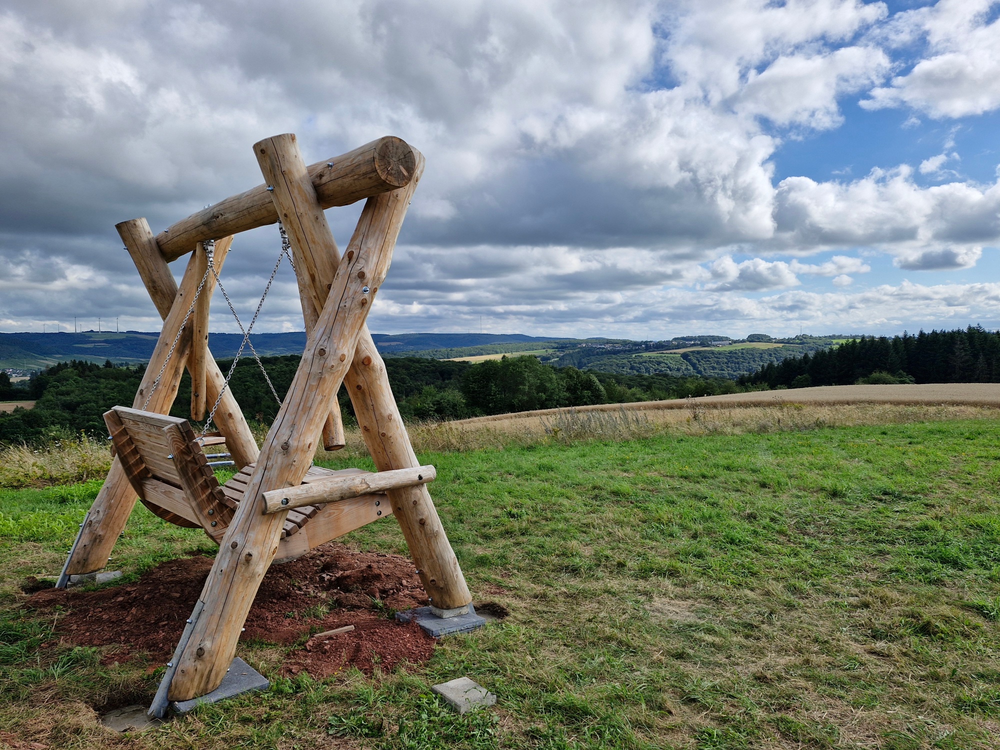
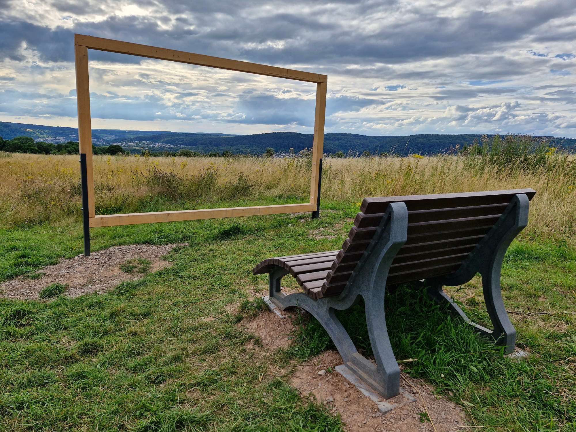
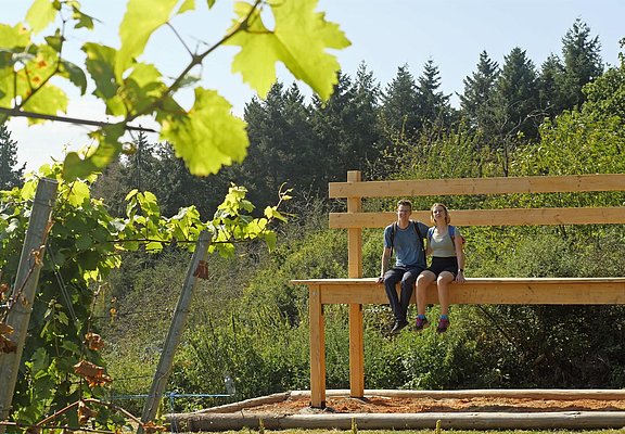
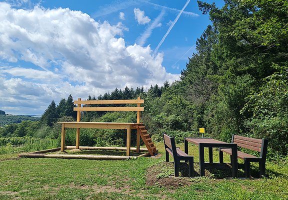
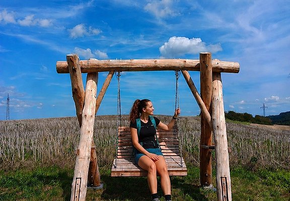
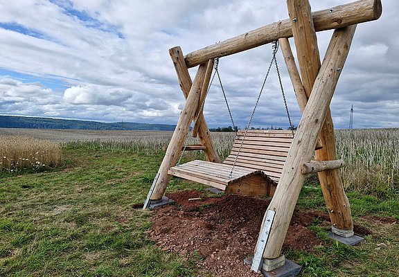
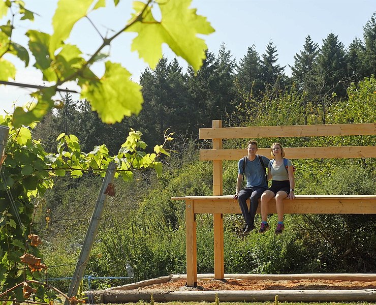
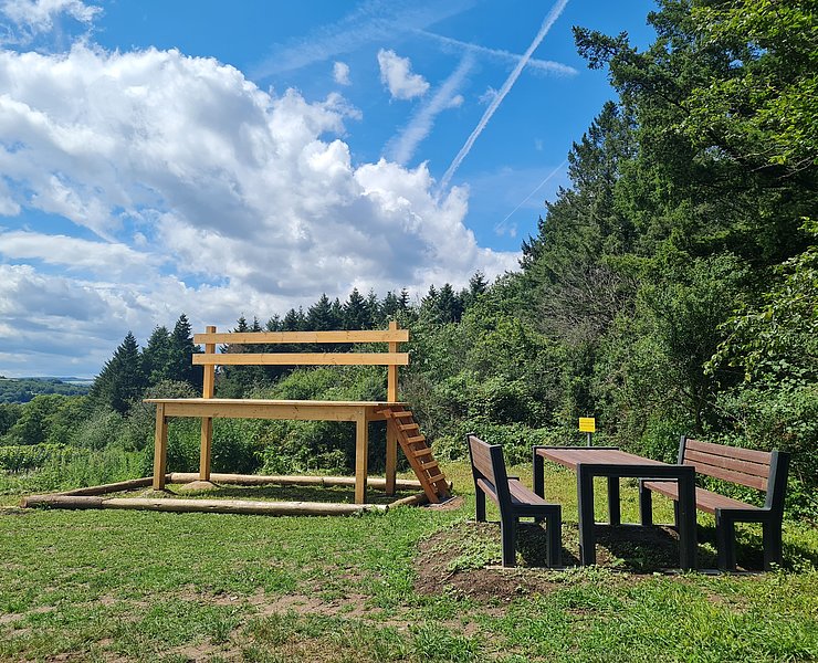
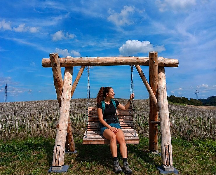
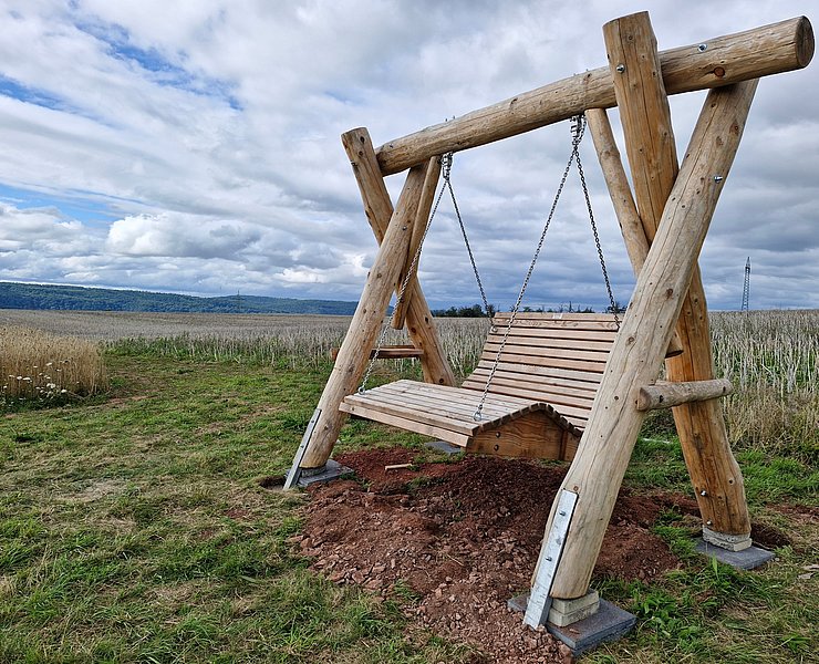
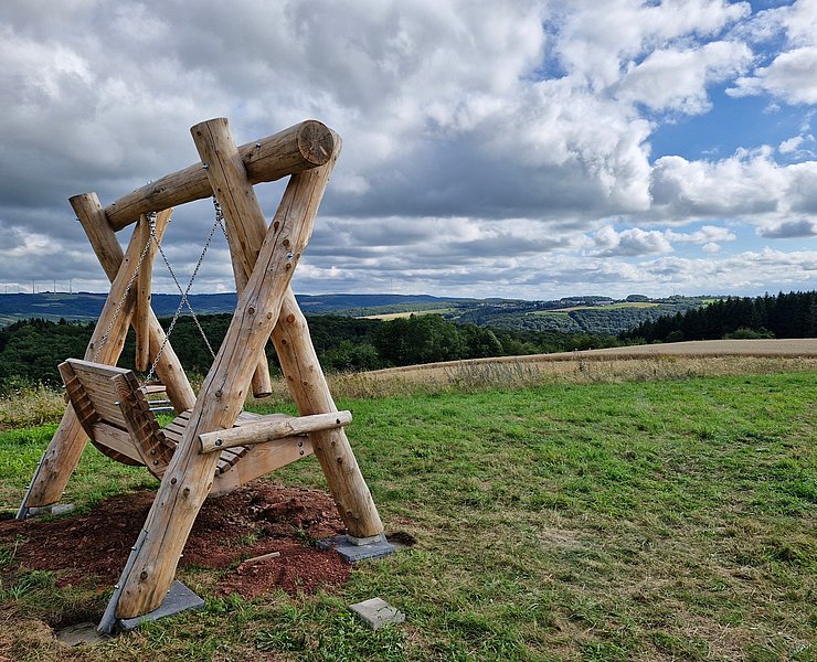
Along the way, the impressive giant chair in the middle of the vineyards and the sky swing, on which you can swing in a relaxed manner, offer extraordinary experiences with fantastic views. The large landscape frame draws the eye to the confluence of the Saar and Moselle rivers and provides a beautiful backdrop for the final photo stop.

After the hike, the inn at the Roscheider Hof invites you to enjoy a refreshment stop. Opening times at www.wirtshaus-roscheiderhof.de

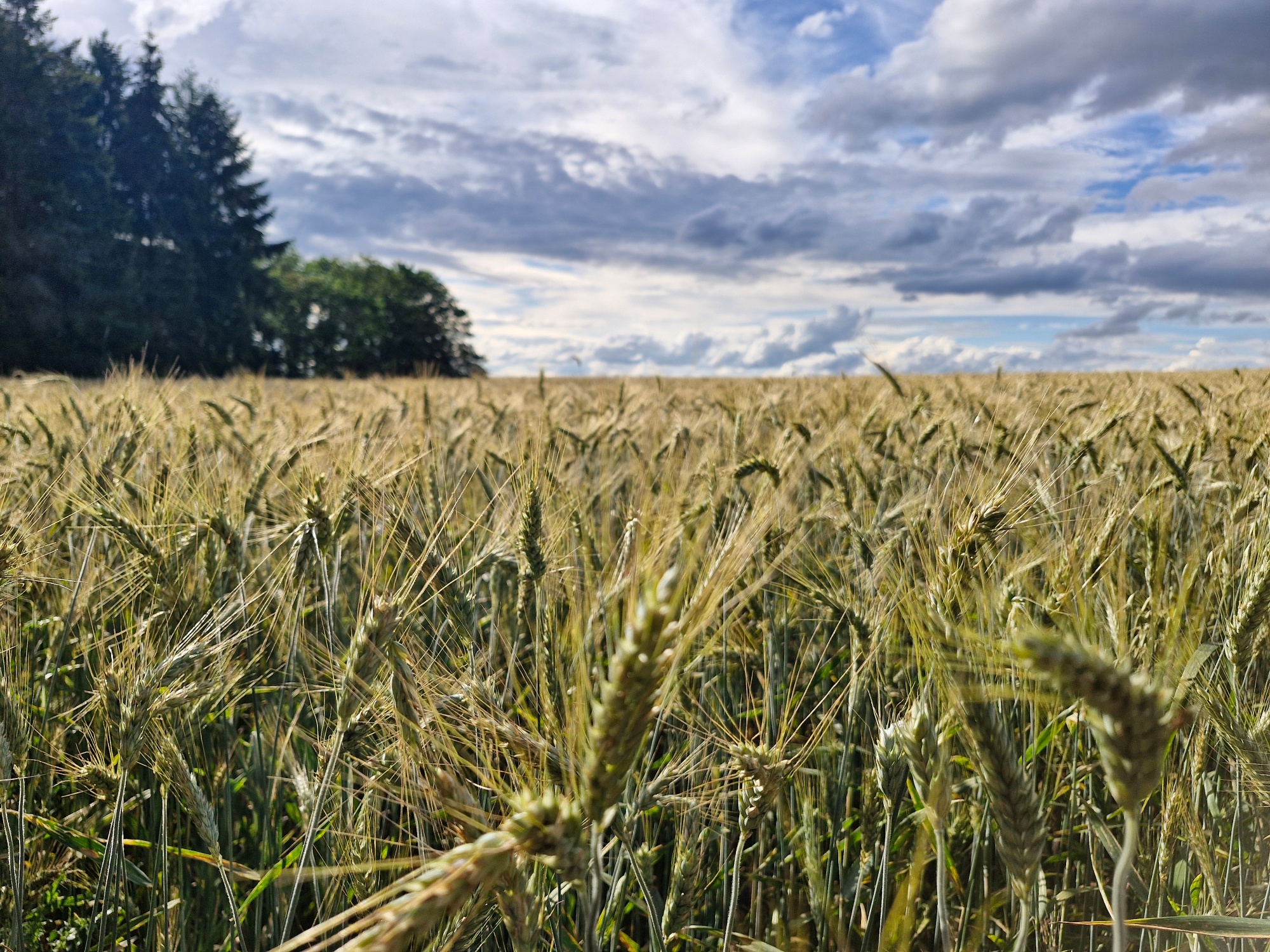
Over a total of 7.2 km, the premium hiking trail runs along the shady Wurzelweg trail, through the Konzer Bachtal valley, the vineyards of Niedermennig, through forest, open meadows and across the Roscheider Plateau.At three points, the Konzer Höhenrunde surprises with special "eye-catchers" installed along the way to enhance the experience. Above the Falkensteiner Hof farm, between the forest and vineyards, there is an oversized bench where you can take a seat and enjoy the view of the Konzer Tälchen valley. Two further "eye-catchers", which also invite you to stop for a photo with an unusual motif, are located on the Roscheider Plateau. A large landscape frame draws the eye towards Wasserliesch, the mouth of the Saar and Trier. And you can take a wonderful rest in a sky swing and look down into the Konzer Tälchen valley and over Roscheid. The panorama board next to it explains which places can be seen.

After the hike, the inn at the Roscheider Hof invites you to stop for refreshments. Opening times at www.wirtshaus-roscheiderhof.de.

Route:

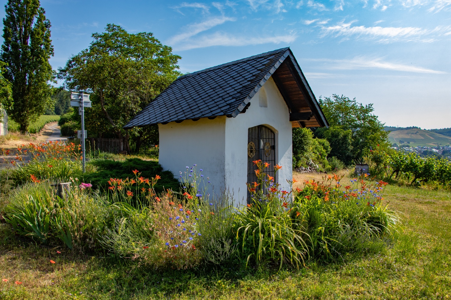
Roscheider Hof open-air museum - traffic circle - Roscheid district - Wurzelweg (narrow, rustic forest path) - stream valley with stream crossing - through the vineyards of Niedermennig - Falkensteiner Hof chapel - continue through vineyards - giant chair - continue through the forest - Roscheider Plateau - sky swing (still to be set up) - panorama board - landscape frame - Roscheid district - Roscheider Hof open-air museum.

  • 7,1 km
  • 2:30 h
  • 138 m
  • 141 m


source Saar-Obermosel-Touristik e.V · Author: Saar-Obermosel-Touristik e.V.

Skip slider