
Themenroute
In the Footsteps of the Romans: A Tour of the Roman Temple Complex in Tawern
You’ll then cycle across the scenic hills of the Saargau, enjoying magnificent views over the Moselle Valley all the way to Luxembourg. Passing through the wine village of Nittel, with its wineries and excellent restaurants, you’ll reach the Moselle Cycle Route. Along the Upper Moselle—Europe’s largest growing region for Elbling grapes—the route leads through the wine villages of Temmels, Oberbillig, and Wasserliesch to the confluence of the Saar and Moselle rivers and finally back to Konz.
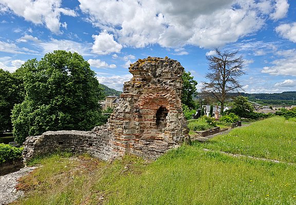
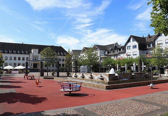
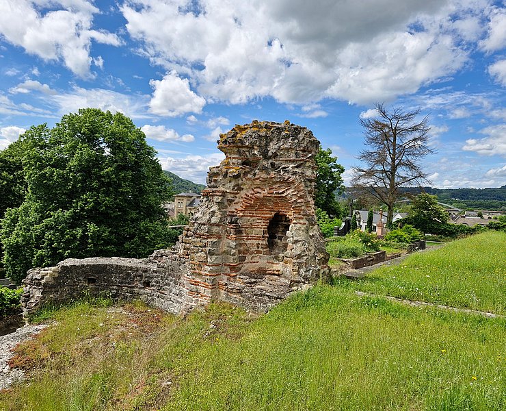
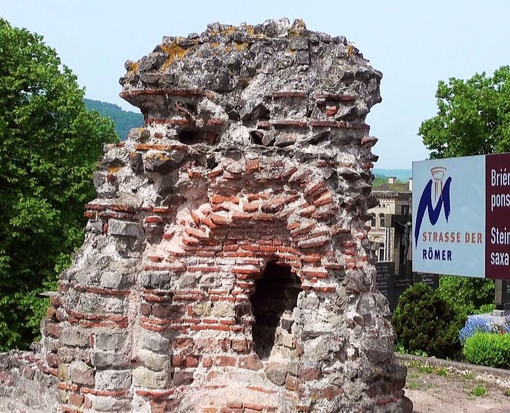
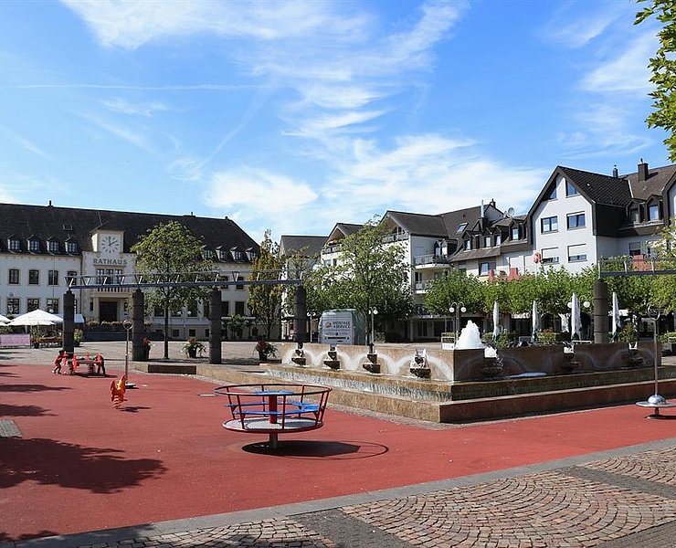
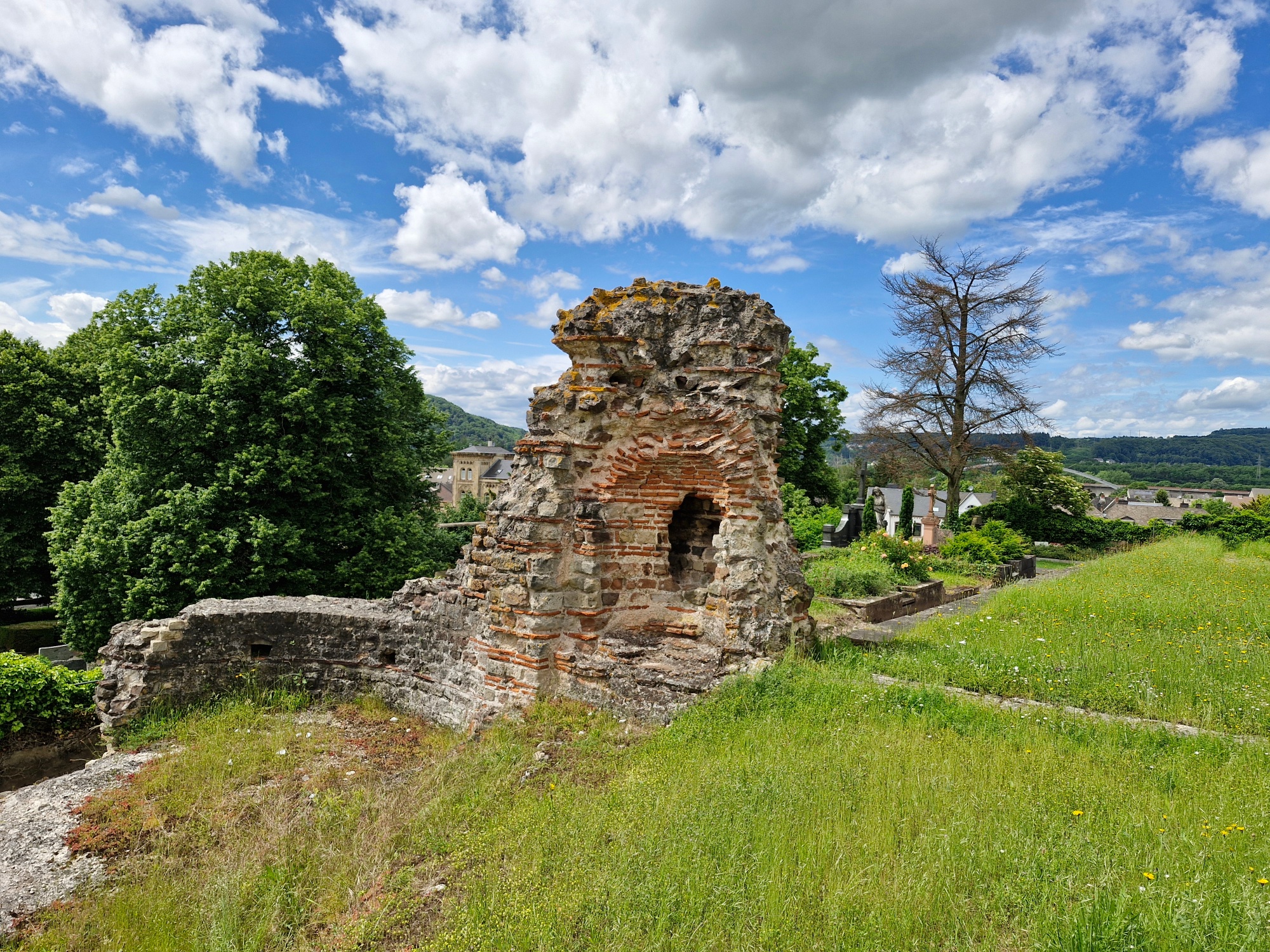
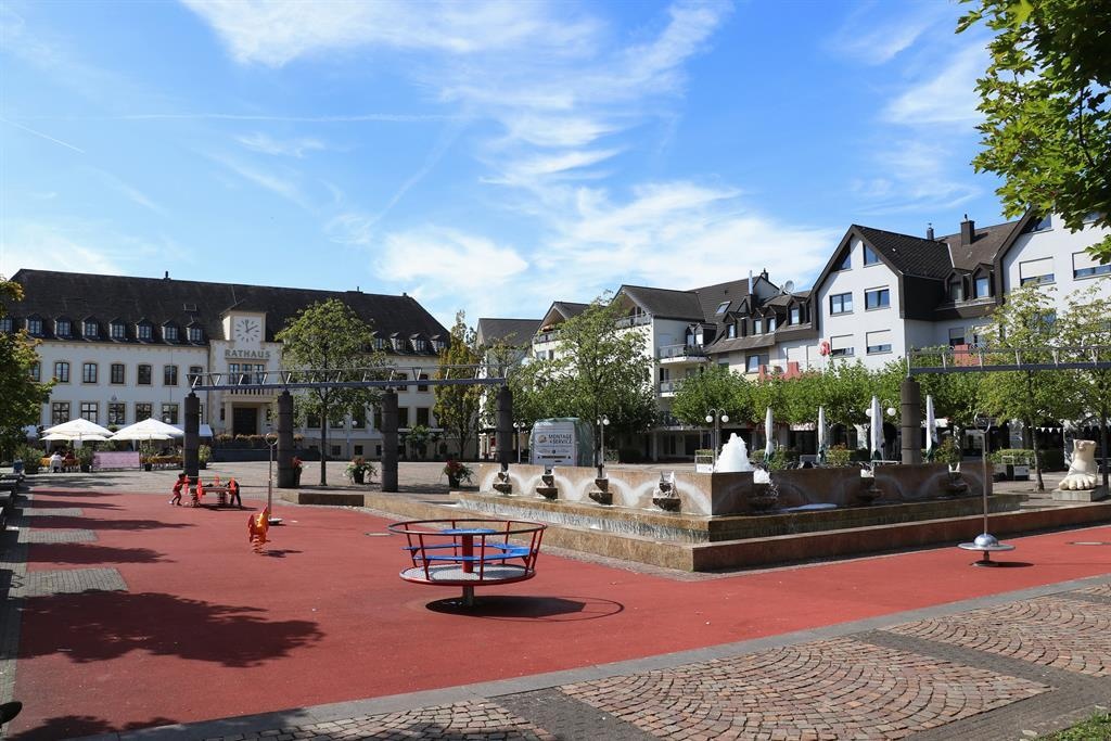
Behind the market square, turn right onto Schillerstraße and follow the street over the bridge and through the roundabout (2nd exit) onto Wiltinger Straße. Continue uphill to Martinstraße, where you turn right. To the left of St. Nicholas Church are the remains of the Roman imperial villa, which the Roman poet Ausonius mentioned as early as 371 in his *Mosella* as the residence of Emperor Valentinian I.
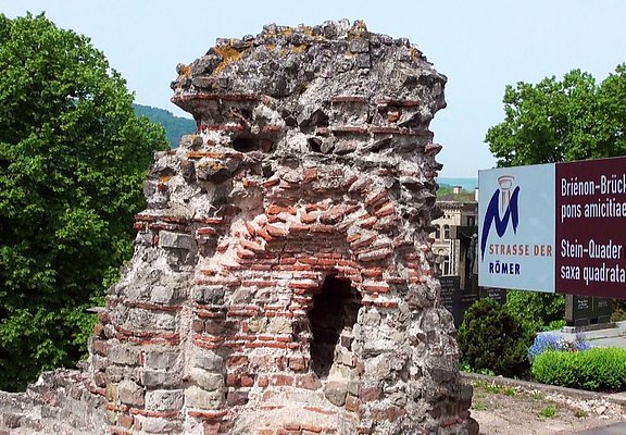
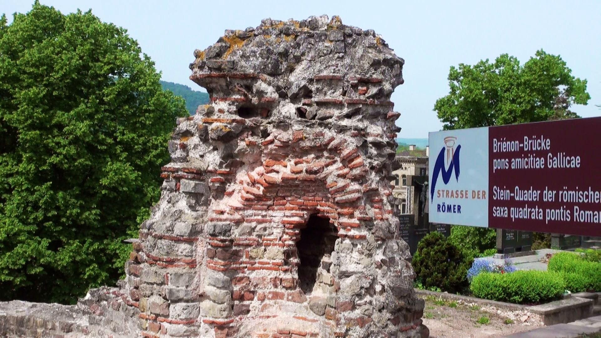
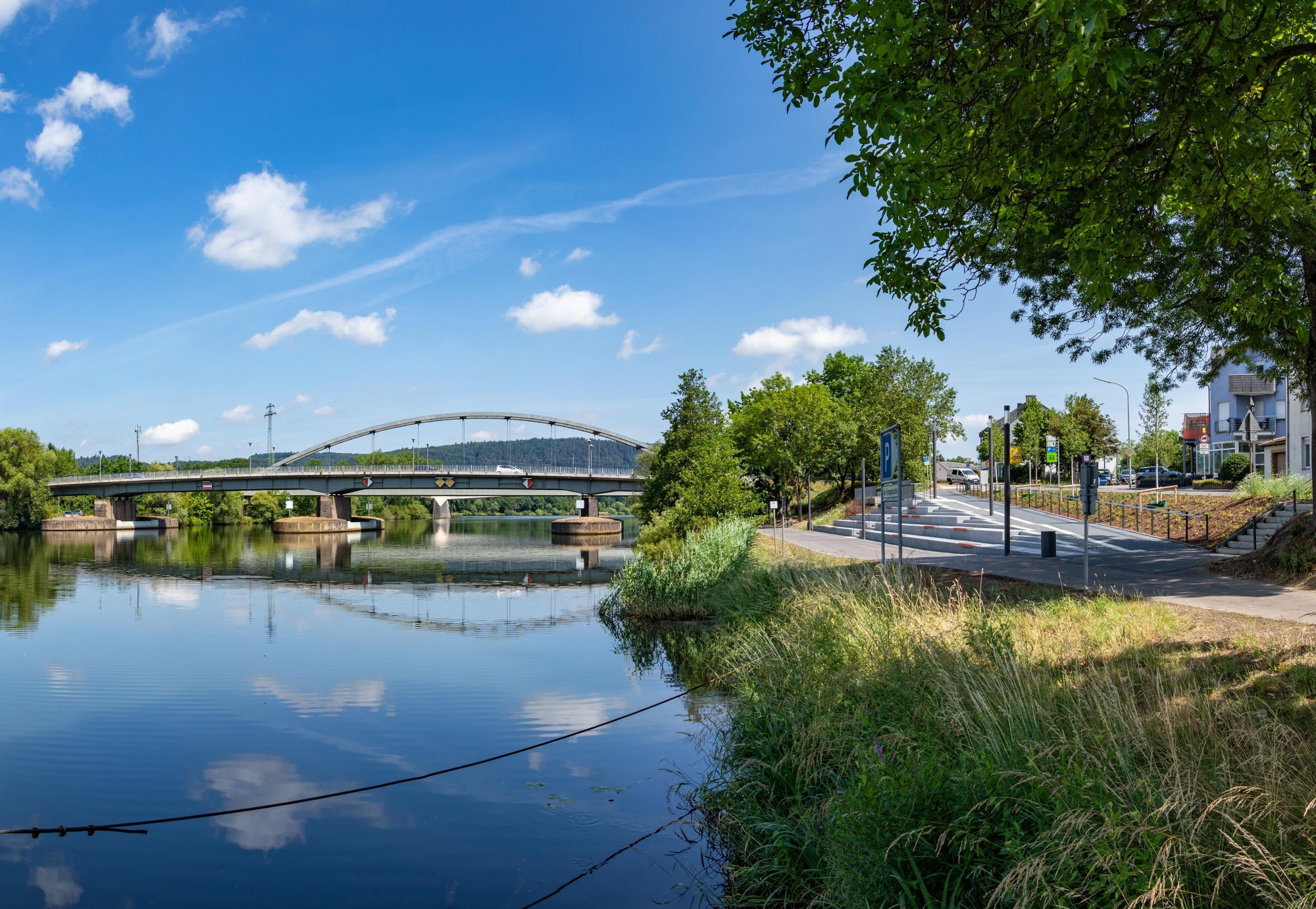
Ride back along Martinstraße to Wiltinger Straße, then follow Pfarrer-Canaris-Weg to the Konstanz Central Station. Cross the railroad tracks via the Brienon Bridge to reach Bahnhofstraße. Keep to the right, then turn left at the next intersection onto Maierspark to reach the banks of the Saar. Follow the Saar Bike Path to the right until you reach Saarstraße, and cross the Saar via the first Saar Bridge. As far back as Roman times, an important long-distance road ran through here from Rome via Metz to Trier.
After the bridge, leave the main road as it turns and continue straight ahead toward Wasserliesch. Before the Hagebau hardware store, turn left at the intersection onto Am Wiesenkreuz. At the roundabout, take the first exit onto An der Granahöhe, then turn left onto Fuchsgraben and follow the road to Tawern.
In Tawern, ride along Kapellenstraße, Römerstraße, and Bachstraße. At the end of Bachstraße, it’s worth taking a short detour to the reconstructed Roman road settlement Vicus Tabernae. A model of the former rest stop on the Roman highway from Trier to Metz to Rome gives you a sense of what life was like in Roman times.
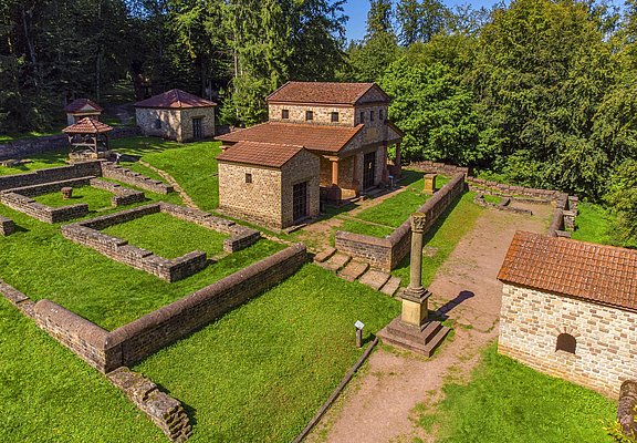
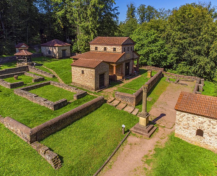
Back on the route, cycle uphill to the Roman temple complex on the Metzenberg. After enjoying a magnificent view toward Trier, follow the forest path to the K110, turn left, and continue on to Onsdorf. There, keep right at the first intersection and leave the town via the L135 toward Nittel.
At the entrance to Nittel (Windhof), turn left and follow Windhof, Neuweg, and Weinstraße to the town center. Numerous wineries and restaurants invite
you
to take a break here. The Romans were already growing Elbling grapes along the Upper Moselle. Today, the Southern Wine Moselle is the largest Elbling-growing region in Europe.
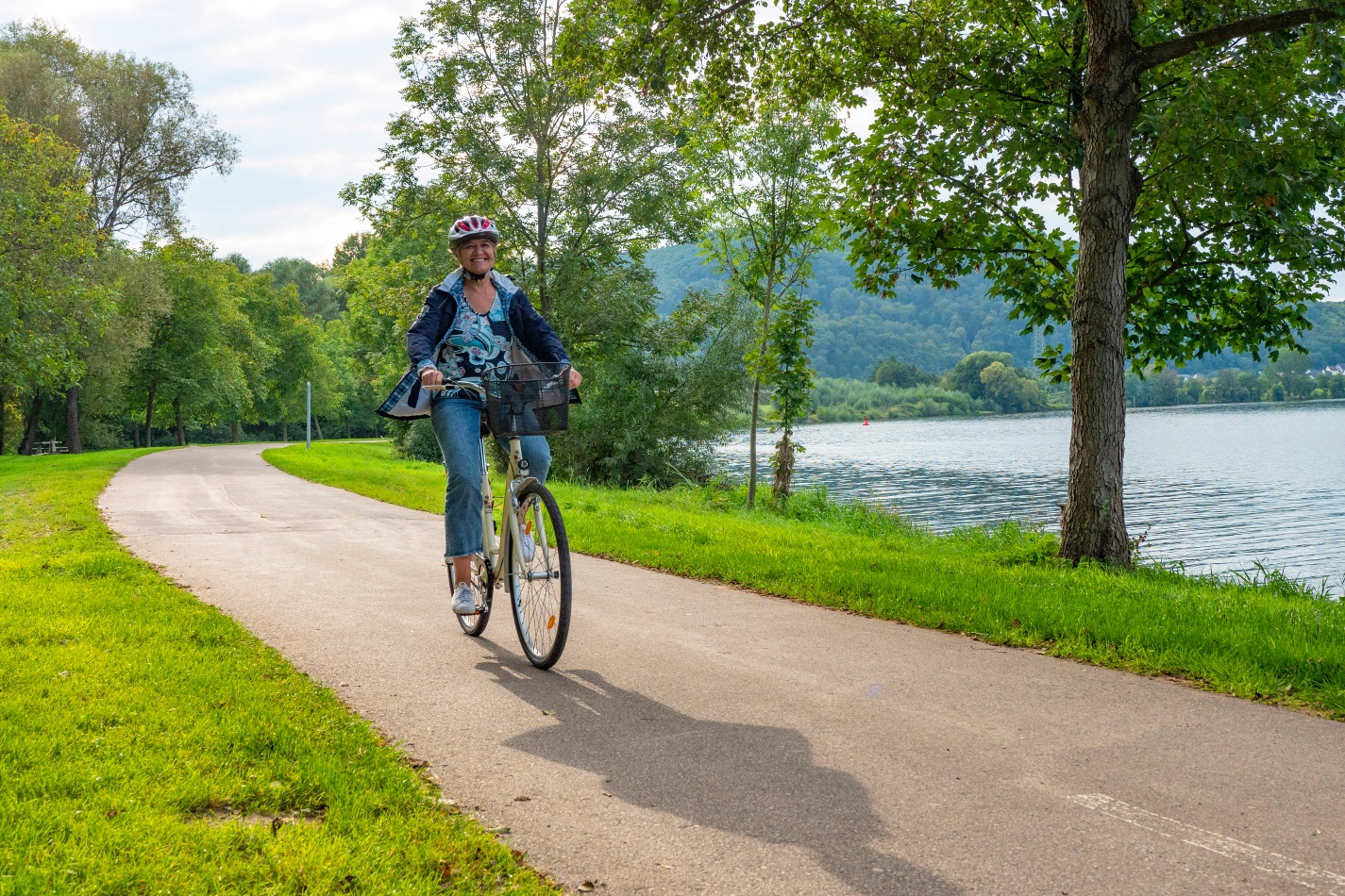
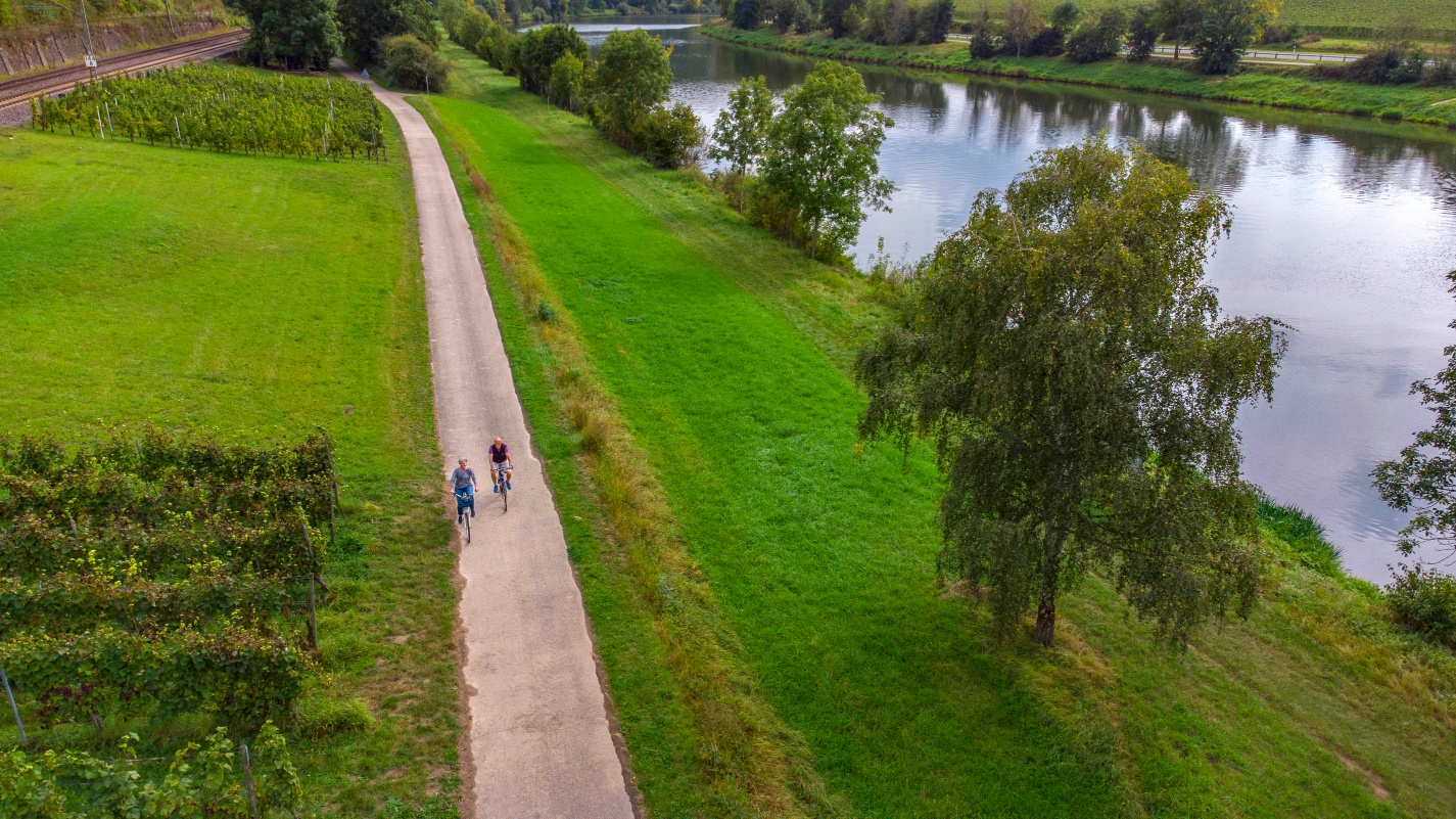
At the Nittel train station, you’ll reach the Moselle Cycle Path and follow it downstream. As you pass the striking limestone cliffs near Nittel and the wine-growing villages of Wellen, Temmels, Oberbillig, and Wasserliesch, you’ll enjoy beautiful views of the Moselle and Luxembourg across the river.
In Oberbillig, the electric solar-powered ferry “Sankta Maria II” runs to Wasserbillig. Wasserliesch is also known for its orchids and the Perfeist Nature Reserve.
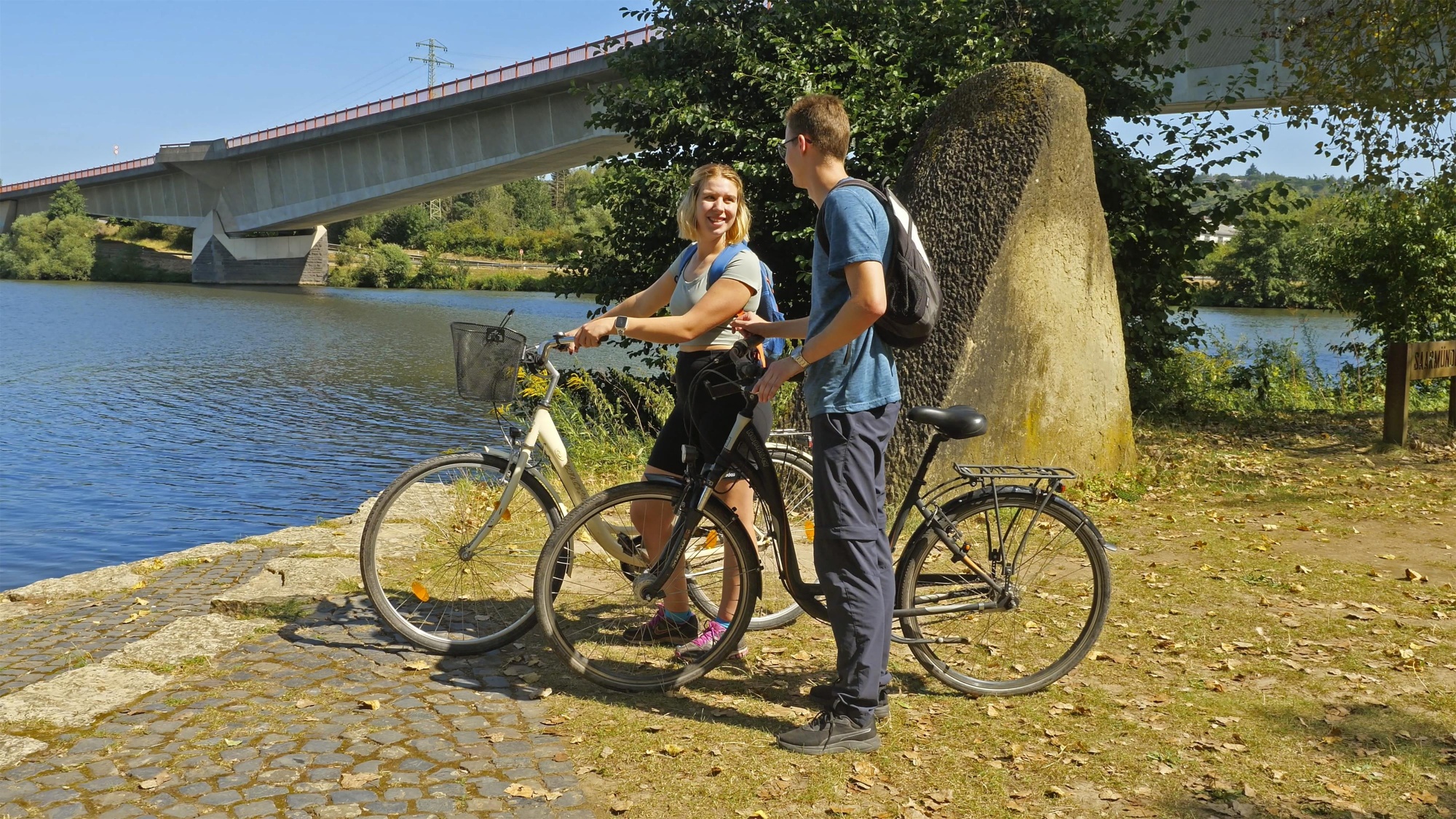
At the confluence of the Saar and Moselle rivers, you’ll reach Konz again. Cross the Saar Bridge and go through the roundabout to return to the Tourist Information Office, the starting point of the tour.
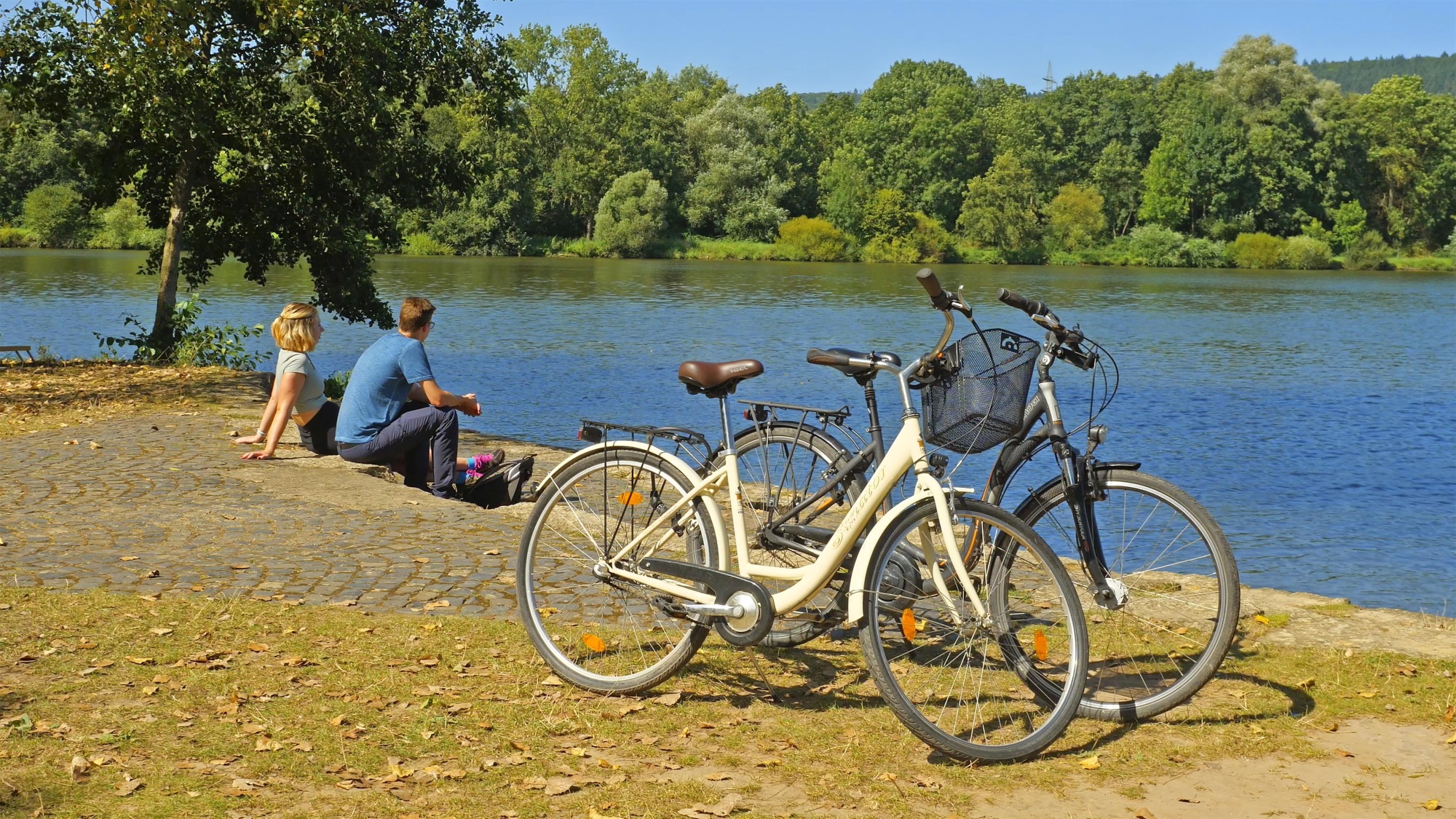
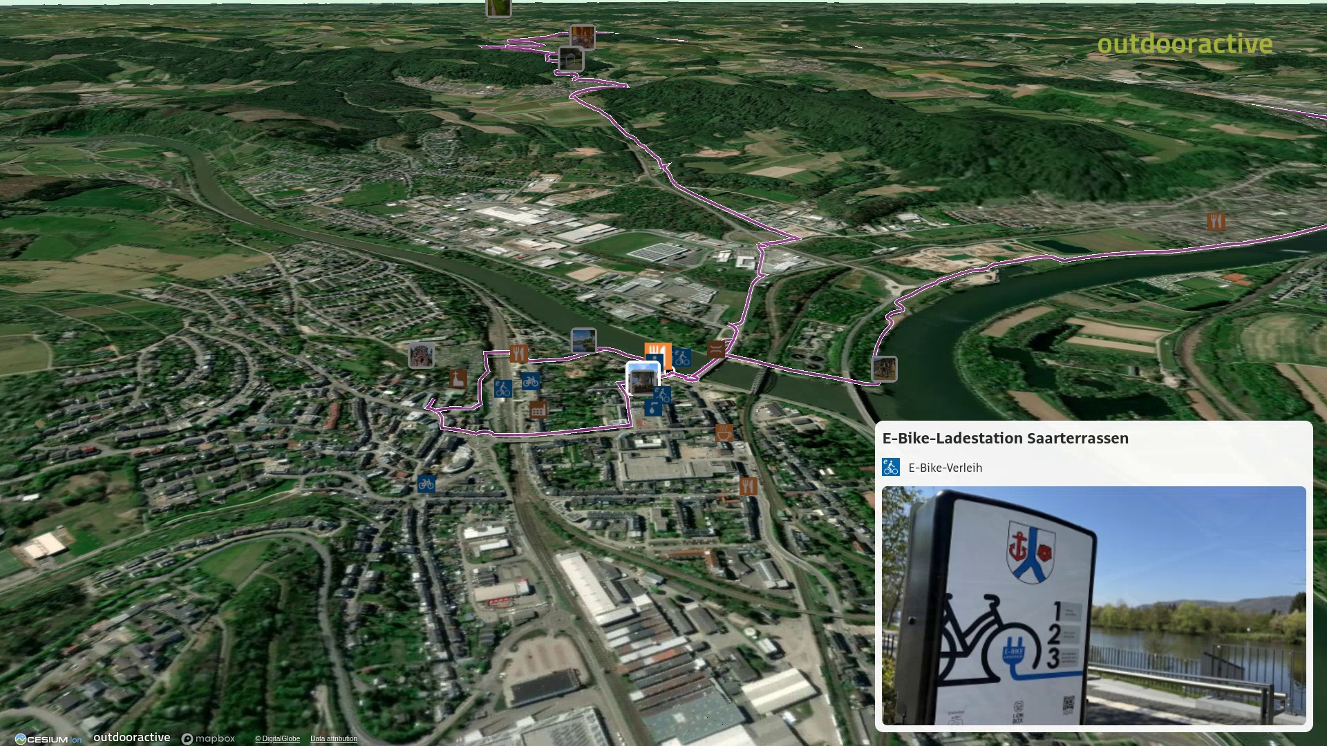
E-bike charging stations: Konz (train station, market square, Saarterrassen), Nittel (village square and Weinstraße), Nittel-Köllig (village square), and Oberbillig (ferry terminal).
Impressions




source
Saar-Obermosel-Touristik e.V
·
Author:
Saar-Obermosel-Touristik e.V.
You might also be interested in
Themenroute
Weingut

Experience
- 18:00
- Schoden

Aussichtspunkte

Experience
- Saarburg

Ferienhaus